[ Homepage
] [ Introduction ] [ Warning ] [ Ratings
] [ Ethics ] [ Feedback ] [ Updates
]
 |
Rim Overlook
Capitol Reef National Park
Hiking
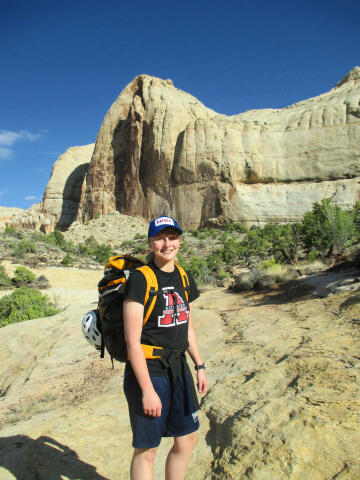
The Rim Overlook Trail is one of the more popular hikes
inside Capitol Reef National Park and provides a great view of the
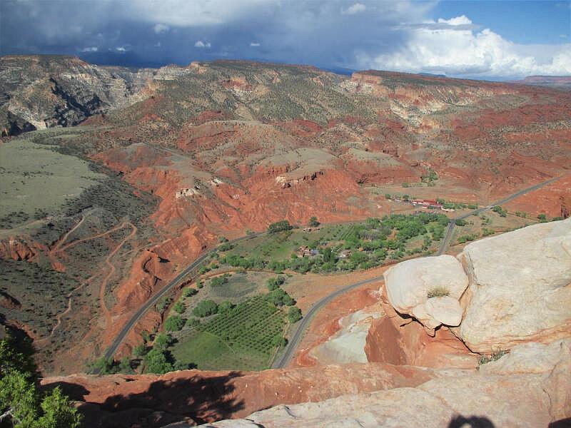
historic town of Fruita and the Fremont River 1000-feet below. This hike is
suitable for all healthy adults and older children. The entire family will enjoy this wonderful
climb through the sandstone reef. This hike is particularly rewarding in
autumn when the orchards surrounding Fruita are in full of color. |
General Information:
  The Rim
Overlook Trail is
not difficult and can be completed by any healthy adult or older child in
average physical condition. No special gear is
required other than footwear suitable for walking over rough ground. The hike involves
walking approximately 2 1/4 miles each way over a well maintained trail with an elevation
gain of 1,100 feet. The route will require approximately two or three hours round trip to complete.
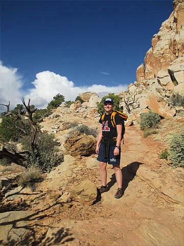
Much of the
route is exposed to the sun and there is little shade available. During hot weather an
early morning or evening hike is recommended. Every member of your hiking party should
carry at least one liter of water. This hike should be easily accessible year round.
Navigation
for this hike is easy. The route is well marked and signed. A GPS is extreme over kill but
I have included the important waypoints for the gizmo junkies. The USGS 7.5' Map titled
"Fruita" covers this hike. You should have no problems completing this hike
using only commonsense. The Hickman Bridge Trail
can be added to this hike for those wanting to add more adventure or create
a longer day.
Trailhead Information:
To reach the
trailhead from the Capitol Reef Visitor Center take Highway 24 east for 2.0 miles to the
signed Hickman Bridge Trailhead located at mile marker 81.1. The trailhead is located on
the north side of Highway 24 just before a bridge over the Fremont River. The trailhead
consists of a large paved parking area, kiosk and a pit toilet. Any vehicle can access this
trailhead and all roads are paved.
Route Information:
From the Hickman Bridge Trailhead (N38° 17' 19", W111° 13'
42"), the trail follows the north bank of the Fremont River downstream a short
distance and than begins to switchback up the Kayenta sandstone. At the top of the
switchbacks you will notice a short trail branching to the right (east). This trail
extends 30-yards to the remnants of a Fremont Culture pit house (N38° 17' 20",
W111° 13' 32"). The pit house foundation is identified by the ring of large black
rocks.
Continuing
hiking
up the trail and you will soon come to a signed junction (N38° 17' 22",
W111° 13' 35"). The trail to the left (west) leads to
Hickman Bridge. Take the right
(north) fork signed Rim Overlook/Navajo Knobs. From the junction the trail leads over a small rise
and crosses a wash. After crossing the wash the trail heads north following
a sandstone ledge system.
1/2 mile beyond the Hickman Bridge/Rim Overlook junction you will encounter
the Hickman Bridge Viewpoint (N38° 17' 30", W111° 13' 56"). This viewpoint
offers an interesting examination of Hickman Bridge from above. From the
viewpoint just keep following the well-defined trail west for another 1 1/2
miles to the Rim Overlook (N38° 17' 28", W111° 14' 58"). From the
viewpoint and enjoy the
spectacle spread out below you. Return the way you came. The truly
adventurous can continue on for another 2 1/4 miles to the Navajo Knobs,
just keep following the trail.
Please take only pictures and leave only
footprints.
[ Homepage
] [ Introduction ] [ Warning ] [ Ratings
] [ Ethics ] [ Feedback ] [ Updates
]
© Copyright
2000-2025, Climb-Utah.com |


